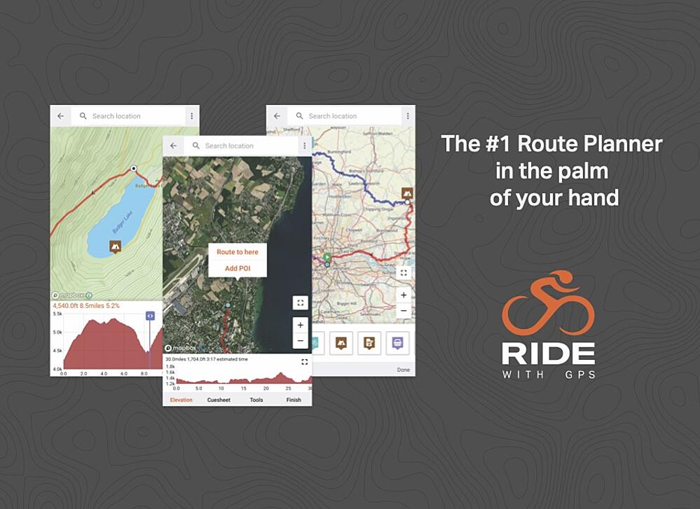
Ride with GPS offers the world's best route planning and navigation software which you can use to plan training routes that match your Haute Route event courses. Check out their route library for inspiration and take advantage of all the tools in their ultra-powerful route planner - from the worldwide heat map to interactive elevation profiles, estimated ride times, and so much more.
In the run-up to the event, you will also receive direct access to an on-event integrated app but for now, enjoy exploring new routes and everything Ride with GPS has to offer.
%20(1).jpg?upscale=true&width=520&upscale=true&name=Untitled%20design%20(15)%20(1).jpg)
-1.jpg?upscale=true&width=600&upscale=true&name=Untitled%20design%20(12)-1.jpg)